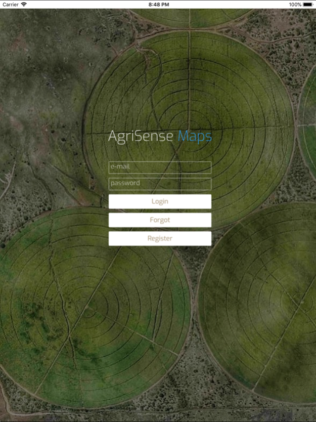
Agri-Sense Maps 3.0.2
Continue to app
Free Version
Publisher Description
Agri-Sense is the easiest way to aid in the planning of farms and large agricultural estates.
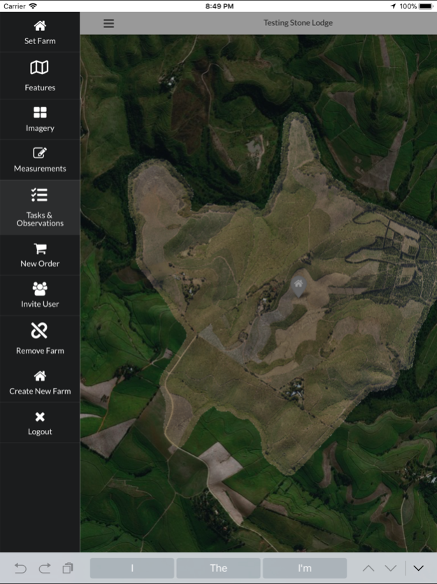
Establish your farm location and plan your boundary, fields and any other infrastructure. Invite friends and agricultural professionals to join and monitor your farm with you.
The users can coordinate all their farming practices and generate orders to their suppliers & contractors with a click of a button.
Agri-Sense agricultural management system is an application to aid in the management of farms and large agricultural estates especially in Africa. With features, such as multi-layer & multi-feature viewing, location logging, task management, team communication and more.
Agri-Sense can be used for small scale farms to large estates, or just a simple way to deliver your drone or aerial imagery to the end client. It is ideally suited for sugarcane farmers and small grower cooperatives.
All data displayed is geo referenced giving the users the ability to see his location in relation to his farm. This allows him to use products like NDVI and Yield mapping to scout his fields and record observations. This information is sent seamlessly to the other users streamlining communication and increasing the turnaround time.
The users can overlay multiple images onto a satellite background including spatial imagery (detailed imagery & NDVI) as well as customized overlays such as yield, soil, aerial & fertilizer application etc. Any spatial layer can be easily converted & displayed.
Multi-features allow the user to view all aspects of the farm like irrigation pipelines, roads, drains and field boundaries. The user can choose what features to display with its attributes. Feature attributes that change overtime and are updated and displayed instantaneously.
This allows the user to access real time data from the field from either a 3rd party telemetry device or through our unique Data Sense data capture App.
Apr 23, 2018
Version 3.0.2
This app has been updated by Apple to display the Apple Watch app icon.
We are always improving Agri-Sense Maps. This version will include minor bug fixes and tweaks to usability.
About Agri-Sense Maps
Agri-Sense Maps is a free app for iOS published in the Office Suites & Tools list of apps, part of Business.
The company that develops Agri-Sense Maps is UpdateMe PTY (LTD). The latest version released by its developer is 3.0.2.
To install Agri-Sense Maps on your iOS device, just click the green Continue To App button above to start the installation process. The app is listed on our website since 2018-04-23 and was downloaded 3 times. We have already checked if the download link is safe, however for your own protection we recommend that you scan the downloaded app with your antivirus. Your antivirus may detect the Agri-Sense Maps as malware if the download link is broken.
How to install Agri-Sense Maps on your iOS device:
- Click on the Continue To App button on our website. This will redirect you to the App Store.
- Once the Agri-Sense Maps is shown in the iTunes listing of your iOS device, you can start its download and installation. Tap on the GET button to the right of the app to start downloading it.
- If you are not logged-in the iOS appstore app, you'll be prompted for your your Apple ID and/or password.
- After Agri-Sense Maps is downloaded, you'll see an INSTALL button to the right. Tap on it to start the actual installation of the iOS app.
- Once installation is finished you can tap on the OPEN button to start it. Its icon will also be added to your device home screen.
